
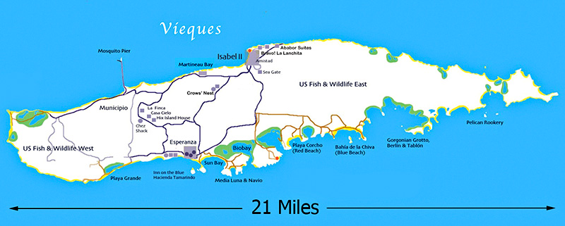
The island of Vieques is about seven miles east of Puerto Rico. The island is about 21 miles long and roughly 3 miles wide, with an east/west orientation. Beginning during World War II, and until very recently, the east and west ends of the island were controlled by the U.S. Navy. In 2003 the military land was turned over the the U.S. Fish and Wildlife Service to be preserved as a National Wildlife Refuge. For the most part, the civilian section will continue to be the middle third of the island.
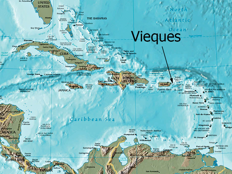
At a latitude of 18 degrees, this is the southernmost U.S. territory in the Western Hemisphere. (The old Canal Zone was further south, and in the Pacific, Guam is closer to the equator.) Looking to the west, Vieques lines up with Jamaica and then Belize in Central America. Following the 18th parallel eastward around the world, this latitude crosses the southern Sahara desert, touches southern edge of Saudi Arabia, goes through Mumbai India, splits Vietnam in half (almost exactly on the old DMZ), crosses the Philippines, and then passes far south of Hawaii.
The longitude of the island is about 65 degrees, so it's well east of the continental U.S. (Vieques is about 1,000 miles southeast of Miami.) Heading due north, the 65th meridian crosses Bermuda, and then eventually reaches Nova Scotia. Going south, it basically runs down the centerline of South America. Vieques also happens to be the southernmost point of the infamous Bermuda Triangle.
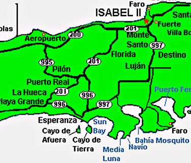
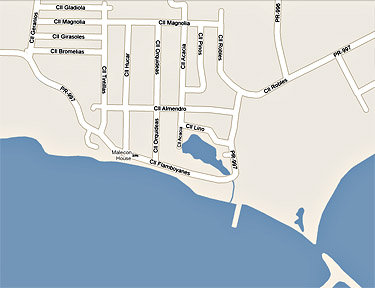
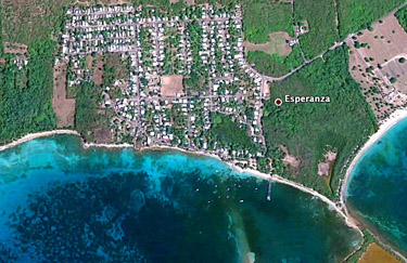
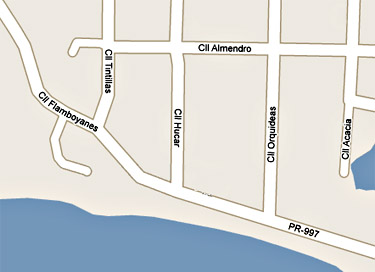
Now that satellite photos are so easily available, it's interesting to compare a map with a photo of the same location. If you look at the maps of Esperanza below, and then compare them to the satellite photos further down, you can get a better sense of the size of our village and it's relationship to the sea. The population of Esperanza is about 1,000.
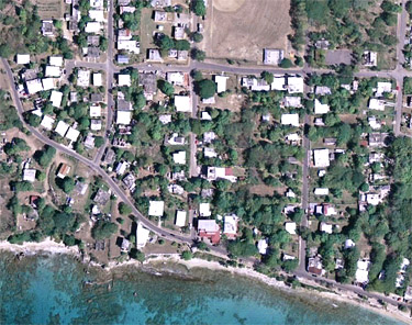
Now zoom in for a closer look...
Created by
Terry Culhane,
© 2005-2024